
Online QGIS courses
Hands-on online QGIS courses and training for practical GIS skills. Learn at your own pace through structured lessons in mapping, layout creation, spatial analysis, geoprocessing and more.


Online Training
Our online training provides flexible, cost-effective learning, giving participants access to high-quality resources they can complete at their own pace, from anywhere.

Course Content

Discover the power of GIS with QGIS
A Geographic Information System, or GIS, helps us capture, manage, analyse and display geographic data so we can better understand places, patterns and relationships.
QGIS is a powerful open-source GIS platform used for mapping, spatial analysis, cartography and data visualisation.
At Q-Tips, our online QGIS courses help beginners and developing GIS users build practical skills through structured, self-paced training in map and layout creation, geoprocessing and spatial analysis.
What you can do with QGIS
Mapping
At its core, GIS is a powerful tool for creating, managing, and sharing detailed maps that effectively visualize spatial data.

Spatial Analysis
GIS performs complex spatial queries and geoprocessing tasks to identify patterns, measure relationships, and model real-world phenomena with spatial data.
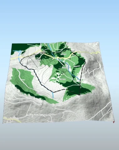
3D Modelling
GIS enables 3D modelling to visualize terrain, infrastructure, and spatial data in three dimensions for enhanced analysis and decision-making.

“As a GIS specialist, I’ve used QGIS for years. Its versatility and accessibility make it an unmatched alternative to proprietary GIS software.”
Ian Wilson
Why Choose QGIS?

Open Source
QGIS is completely free to use, with no licensing fees or restrictions. Its open-source nature means it is constantly evolving, with global community support and a wealth of plugins to extend functionality.

Powerful and Versatile
QGIS offers advanced GIS capabilities for mapping, spatial analysis, geoprocessing, cartographic design, and 3D visualisation, making it suitable for a wide range of real-world applications across different professions and industries.

Actively Developed
QGIS is continuously improved by a global community of contributors. New features, bug fixes, and performance updates are released regularly, helping the software remain up to date and effective for modern GIS tasks.