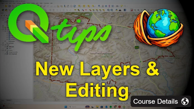
QGIS – New Layers & Editing

Wishlist Share

About Course

Learn how to create, edit, and manage your own spatial data in QGIS.
This course focuses on one of the most important GIS skills: building clean, accurate datasets from scratch and editing existing layers with confidence.

You’ll learn how to create new vector layers, set up attribute tables, design data-entry forms, digitize features, edit geometries, and apply best-practice workflows used by GIS professionals.  By the end of the course, you will be able to build your own GeoPackage with properly structured layers, styles, and attribute forms.

What Will You Learn?

  • Create new vector layers in QGIS (points, lines, polygons)
  • Build and structure attribute tables correctly
  • Design customised attribute forms using widgets and defaults
  • Digitize new features with clean geometry and snapping rules
  • Edit existing layers using advanced tools (split, rings, reshape, vertex edits)
  • Manage GeoPackage layers and export data
  • Use Topology to identify errors in a line layer before converting it to a polygon layer

Course Content

Getting Started
In this section, we will download and extract the course files, review the survey diagram, record the survey coordinates in a CSV file, and import them into QGIS.

  • Prepare your lesson files & project
  • Adding a Delimited text layer (CSV, TXT)

Creating a Shapefile (Vector Layer)
In this section, we will create a new vector layer using the shapefile format and edit the attribute table.

Creating a GeoPackage
Create and manage a GeoPackage by adding layers, setting up the attribute form for digitizing, and exporting layers with saved styles.

Advanced Editing
In this final section, we will explore advanced editing tools, introduce topology, use the Topology Checker plugin, and conclude the video series.

Student Ratings & Reviews

No Review Yet
No Review Yet
Scroll to Top