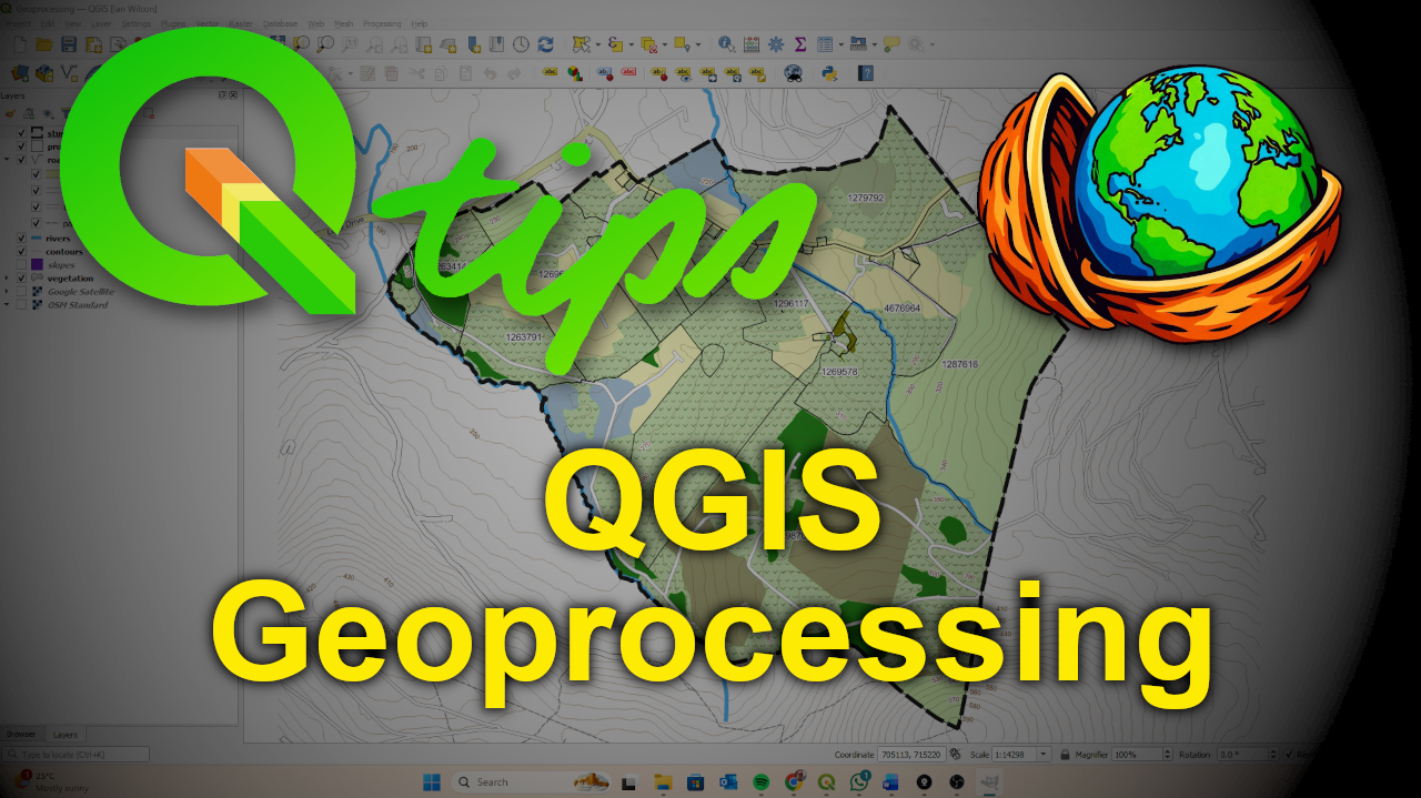
Course Description: Geoprocessing in QGIS
This course introduces the core geoprocessing tools in QGIS through a practical, real-world style example. You’ll work through a simple spatial analysis workflow to create a GO / NO-GO development layer, combining multiple restrictive datasets such as rivers, vegetation, and slope.
The focus is on understanding how geoprocessing tools work, how layers interact, and why coordinate reference systems and clean data matter when performing spatial analysis. By the end of the course, you’ll have a clear, repeatable workflow that you can adapt to your own projects.
You’ll learn how to:
-
Use key QGIS geoprocessing tools including Buffer, Merge, Dissolve, and Union
-
Apply attribute filters to isolate sensitive features
-
Reproject layers to an appropriate CRS for accurate analysis
-
Combine multiple layers into a single development potential map
-
Calculate area values using the Field Calculator
This course is ideal for learners who already know the basics of QGIS and want to start doing meaningful spatial analysis rather than just viewing data.
If you want it even shorter (one tight paragraph with no bullet points), say the word and I’ll compress it again without losing clarity.

Reviews
There are no reviews yet.