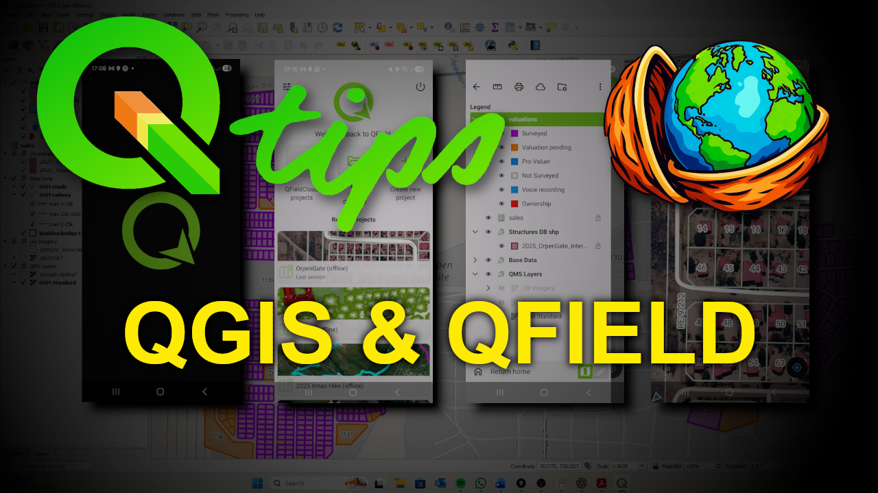
Course Description
In this practical tutorial, you’ll learn how to capture spatial data in the field using GPS-enabled devices and integrate it seamlessly back into QGIS. The course covers preparing a QGIS project for field use, collecting point data with forms and photos using QField on Android, and importing the captured data back into your desktop GIS environment.
You’ll work through a complete end-to-end workflow, including layer creation, attribute form design, project packaging for QField, and updating your original datasets after field capture. The tools and datasets used are for demonstration purposes only.
Reviews
There are no reviews yet.